Aerial photography is a great way to get a new perspective on familiar objects and landscapes. They can also be used to perform inspections of land or buildings. Examples of the use of aerial photography are the creation of bird’s eye views, the creation of elevation plans or the creation of 3D models.
Drones are one of the best ways to take aerial photos. They have gained enormous popularity in recent years and are increasingly used for various purposes. Drones can take high-resolution photos and videos with megapixel cameras, offering a whole new perspective.
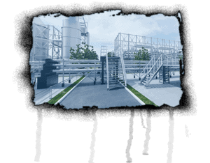
Aerial photography is increasingly being used to map soils, inspect homes, or photograph real estate. The images provide an ideal bird’s-eye view and allow even complex structures to be visualized. To make even better use of the images, they are often converted into 3D models.
3D models make it possible to view and explore a given area from all perspectives. They can be easily shared online and interacted with other users. 3D models are also being used more and more frequently for the planning of construction projects, as they enable a realistic representation of the surroundings.
So, drones are not only suitable for entertainment, but also offer a variety of practical applications. In the future, they will probably become even more important.
Pros:
Aerial photography offers a unique perspective on landscapes and objects.
Aerial photography is a useful method for inspecting land and real estate.
By using drones, images can be taken at high altitudes, which can be useful for mapping and documenting environmental impacts.
Contra:
Aerial photography can be expensive depending on what type of equipment is used.
Drones are banned or regulated in some countries, so it can be difficult to use them for aerial photography.
There is a risk that the recordings will be made by people who do not agree with them, which can lead to privacy issues.