Photogrammetry is a method of capturing, processing and analyzing photographs to record geographic information and geometric properties of objects in the real world.
Photogrammetry involves taking multiple photographs of an object or landscape from different perspectives. The photos are then matched and linked together to capture the geometric properties and topographic information of the object. The results of photogrammetry are then presented in the form of maps, plans or three-dimensional models.
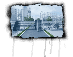
It is used in many fields, such as land surveying, cartography, archaeology, architecture, and urban planning. It is also used in remote sensing and aerospace applications.
Fields of application in 3d, vr & AR
In recent years, photogrammetry has also gained importance in the fields of 3D, AR (augmented reality) and VR (virtual reality).
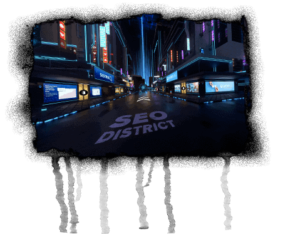
When creating 3D models, photogrammetry is used to process photos of objects or landscapes from different perspectives to create a three-dimensional model. These 3D models can then be used in various applications, such as 3D games or architecture.
In augmented reality, photogrammetry techniques are used to overlay real landscapes and objects with digital information and elements in real time. This technology is used, for example, in architecture and marketing.
In virtual reality, photogrammetry techniques are used to transform real landscapes and objects into a virtual world in real time. This technology is used, for example, in architecture and tourism.
Successful use of photogrammetry
Photogrammetry has made many advances in recent years and has led to many important results. Some examples of photogrammetry successes include:
The development of satellites and aircraft with high-resolution cameras and other sensors that enable detailed photos to be taken of Earth and other planets.
Improving algorithms and software tools for processing and analyzing photogrammetry data, enabling more accurate and faster results.
The introduction of LiDAR (Light Detection and Ranging) and other technologies that allow three-dimensional data to be collected from Earth and other planets.
The application of photogrammetry in various fields such as land surveying, cartography, archaeology, architecture and urban planning.
The use of photogrammetry technologies in augmented reality and virtual reality to overlay real landscapes and objects with digital information and elements in real time.
In this context, other visitors have also searched for the following terms: